Leeds City Council UDP proposals maps 2006
UDP maps home page | Proposals Map | City centre quarters | City centre open spaces | Town centres, HMOs and airport | Other Leeds maps

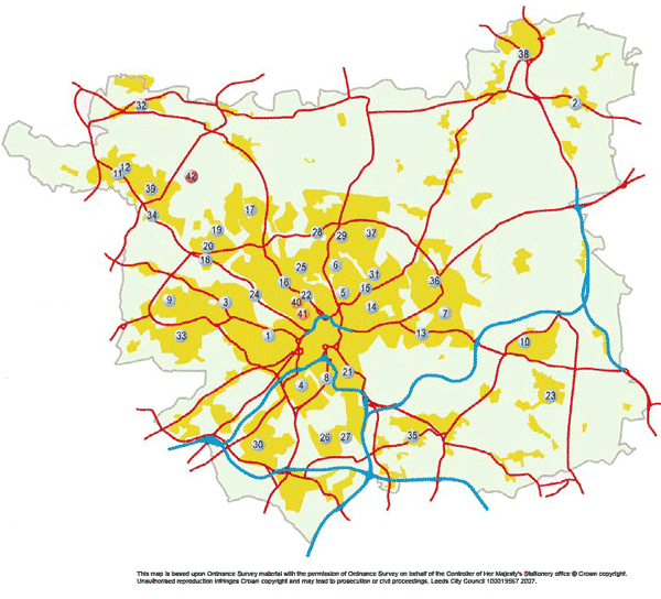
Town Centre Inset Maps, Houses in Multiple Occupation Maps and Aerodrome Safeguarding Area Map

Please float your mouse pointer over a number for the name of an inset map. Town centres are blue, HMOs orange and the airport red. Click on a number to view an inset map sheet and its key.

town centre inset maps key
1 - Armley 2 - Boston Spa 3 - Bramley 4 - Beeston 5 - Chapeltown Road 6 - Chapel Allerton 7 - Cross Gates 8 - Dewsbury Road 9 - Farsley 10 - Garforth 11 - Guiseley Otley Road 12 - Guiseley Oxford Road_Town Gate 13 - Halton 14 - Harehills Lane 15 - Harehills Corner 16 - Headingley 17 - Holt Park 18 - Horsforth New Road Side 19 - Horsforth Station Road 20 - Horsforth Town Street 21 - Hunslet 22 - Hyde Park Corner 23 - Kippax 24 - Kirkstall 25 - Meanwood 26 - Middleton Park Circus 27 - Middleton Ring Road 28 - Moor Allerton 29 - Moortown Corner 30 - Morley 31 - Oakwood 32 - Otley 33 - Pudsey 34 - Rawdon Leeds Road 35 - Rothwell 36 - Seacroft 37 - Street Lane 38 - Wetherby 39 - Yeadon 40 - Hyde Park HMO 41 - Moorlands HMO 42 - Aerodrome safeguarding area